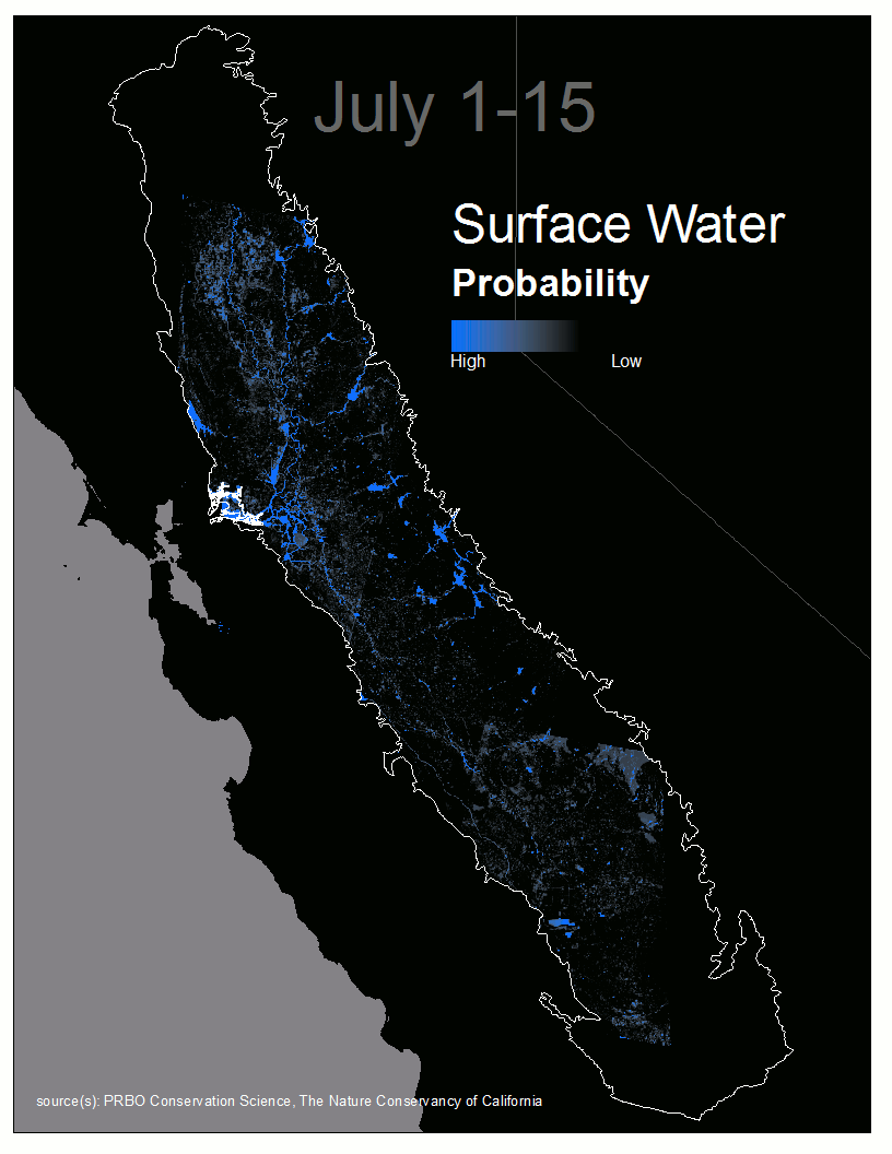
Welcome to Water Tracker—an automated system that provides up-to-date and accurate data on surface water distributions in the Central Valley.
The Central Valley is a nexus for water resources in California. Despite the importance of water resources in this region, data on open surface water have not been available until now. This information can be used in a variety of ways and is especially useful for water and wetland managers when making decisions about water management.
Explore maps here via the Map Viewer!
Download the most recent and historic data here!
What’s New?
- Cloud-filled data layers. We developed a model that can predict water when clouds block the Earth’s surface. This model is highly accurate and takes advantage of historical and recent flooding patterns derived from both Landsat and MODIS imagery. These data can be viewed and downloaded from the Map Viewer.
- Summaries of water from custom areas. You can now draw a custom spatial area or upload a shapefile. Then you can download the data OR get a summary of water in that area over time with interactive time-series plots. See an example here.
- Explore wetland vegetation. Recent work by USGS provides annual maps of wetland vegetation (tall emergent, moist-soil seed plants) across the Central Valley. These data (2007-2017) can be viewed and downloaded from the Map Viewer.
This innovative water tracking system helps water, wetland, and conservation program managers know in near real-time how to allocate limited freshwater resources to meet the needs of wildlife and people.
See Data in Action here.
Questions? Contact us at watertracker@pointblue.org